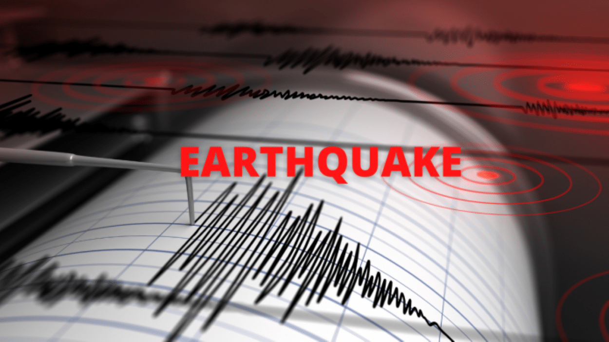
An earthquake measuring 5.2 on the Richter scale struck Pakistan in the early hours of Friday morning, according to data released by the National Centre for Seismology. The seismic event originated at a significant depth of 135 kilometres.
The depth of an earthquake plays a crucial role in its potential impact. Seismic waves from shallow earthquakes travel shorter distances to the surface, often resulting in stronger ground shaking and a greater potential for damage to infrastructure and risk to human life.
Pakistan, along with neighbouring Afghanistan and northern India, lies within one of the world’s most seismically active regions. This high-risk zone is created by the ongoing collision of the Indian and Eurasian tectonic plates. This geological activity makes the region prone to frequent moderate and strong earthquakes, which are often felt across national borders due to the network of interconnected fault lines.
Two Moderate Earthquakes Hit Pakistan and Afghanistan Overnight
Follow @TimesNow for more news and updates.https://t.co/VgGYo8t6bA
— TIMES NOW (@TimesNow) November 21, 2025The country’s geography makes it particularly vulnerable. Several major fault lines cross Pakistan, placing it among the world’s most seismically active nations. Provinces including Balochistan, Khyber Pakhtunkhwa, and Gilgit-Baltistan are situated on the southern edge of the Eurasian plate. Meanwhile, Sindh and Punjab are located on the northwestern edge of the Indian plate. This precarious positioning is a primary contributor to the frequent seismic activity experienced across the country.
Balochistan is notably located near the active boundary between the Arabian and Eurasian tectonic plates, a highly active seismic zone. While Punjab is also susceptible due to its location on the Indian plate, Sindh, though generally less prone, still faces a degree of risk from regional tectonic forces


