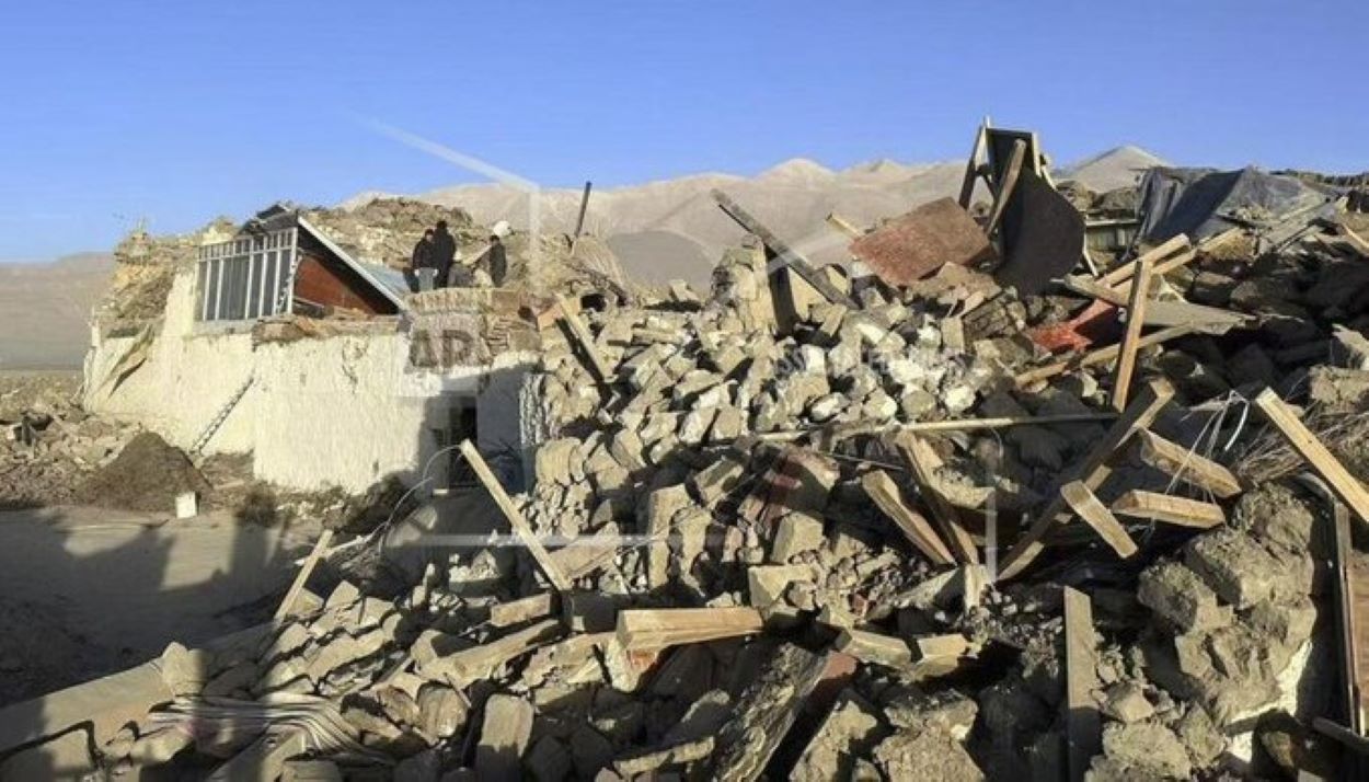
On Tuesday morning, a powerful 6.8-magnitude earthquake struck Dingri county, Tibet, near the Nepal border, resulting in at least 53 fatalities and 62 injuries, as reported by state media. The earthquake, initially detected at 9:05 AM (0105 GMT), was also felt in Nepal and India, according to the China Earthquake Networks Center (CENC) and the US Geological Survey.
China’s state broadcaster CCTV aired footage of devastated homes in Dingri, with walls dismantled and debris scattered among the wreckage. Local authorities in Xigaze, part of the Xizang Autonomous Region, are currently assessing the full impact of the disaster.
The region, experiencing temperatures around -8 degrees Celsius (17.6 degrees Fahrenheit), is set to face even colder conditions tonight, dropping to -18 degrees. Dingri County, located at a high altitude near Mount Everest, has a population of approximately 62,000.
This earthquake has been the strongest within a 200-kilometre radius of the area over the past five years. In Nepal, tremors and aftershocks were felt as far as Lobuche and the high mountains near Everest. However, Nepali officials say no casualties or damage have yet been reported there.
Earthquakes are frequent in this Himalayan region due to the collision of the Indian and Eurasian tectonic plates. The last significant earthquake in Nepal in 2015 caused nearly 9,000 deaths and significant destruction.
Meanwhile, minor tremors were felt in India’s Bihar state, but no injuries have emerged. This event adds to the region’s history of seismic activity, including a 7.0-magnitude earthquake along the China-Kyrgyzstan border last January, which killed three and injured dozens.


