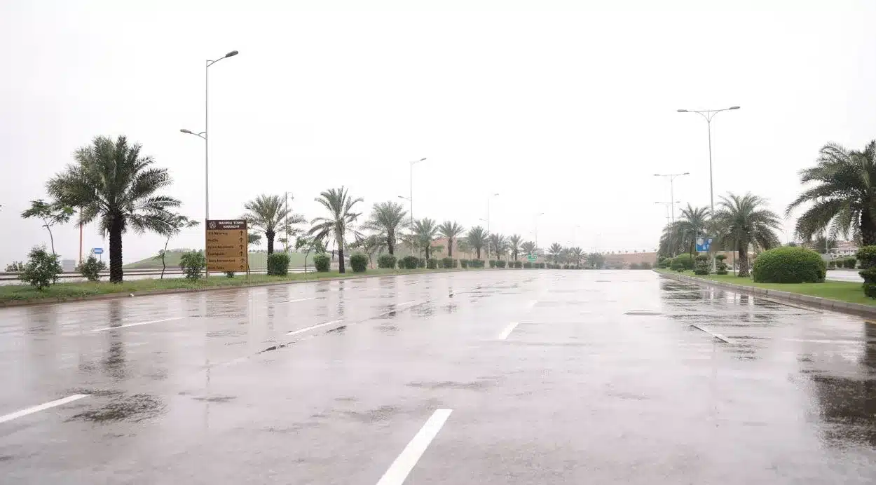
Areas in Karachi have reported light rain, with the very severe cyclonic storm (VSCS) Biparjoy progressing towards the coastal regions of Sindh. Gharo, Keti Bandar, and surrounding areas in the Thatta district have also reported rainfall.
Projected Path and Impact of Cyclonic Storm
On Thursday evening, the Category 3 VSCS will land between Karachi and Mandvi in Gujarat, India. It is expected to bring winds of approximately 140-150 kilometers per hour (km/h) and gusts up to 170 km/h. As per the latest predictions, the cyclone is anticipated to continue northward until June 14 before curving eastwards. Areas likely to be impacted include Thatta, Badin, Sajawal, Tharparkar, Karachi, Mirpurkhas, Umerkot, Hyderabad, Ormara, Tando Allahyar and Tando Mohammad Khan.
Government Preparedness and Evacuation Measures
Climate Change Minister Sherry Rehman stated that the cyclone’s trajectory is heading northeast, which will likely significantly impact the Keti Bandar area and the larger Thatta district. The government is preparing evacuation measures, with 75 evacuation camps already set up and around 62,000 people relocated from the coastal areas in the last two days. Karachi, while not directly in the eye of the storm, will also likely experience high-velocity winds and rainfall.
Ongoing Relief Efforts and Climate Change Impacts
Rehman expressed gratitude to international satellite centers for their assistance and underlined the joint efforts of the Sindh and Balochistan governments, the federal government, the military and the Rangers. She also highlighted the ongoing relief efforts, especially in areas still recovering from the 2022 megafloods. Lastly, she stressed future challenges like heatwaves and rising sea levels due to climate emergencies.


